Personal tools
You are here: Home gvSIG Projects gvSIG Desktop Documentation User documentation gvSIG-Desktop 1.12. Manual de usuario (en línea) gvSIG-Desktop 1.12. Manual de usuario
gvSIG Desktop
gvSIG Desktop

Cached time 11/21/13 14:51:06 Clear cache and reload

 
Document Actions

gvSIG-Desktop 1.12. Manual de usuario

by Manuel Madrid last modified 2012-07-30 17:50

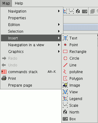
gvSIG can be used to add the following cartographic elements to a map:

  • Views
  • Images
  • Scale bars
  • Legends
  • Graphic objects
  • North
  • Texts
  • Boxes

Many of these cartographic elements are closely linked to the “View” document, so that when changes are made in the view, they are shown in the map (changes in zooms, panning, legend modifications, layer organisation, etc.). You can access the different options from the tool bar or by going to the “Map” menu and then to “Insert”.

elementos-que-se-pueden-insertar-en-un-mapa-en.img/menuInsertarElementosMapa_en.png
Get freemind document

View source document Get permanent link


Powered by Plone CMS, the Open Source Content Management System

This site conforms to the following standards: